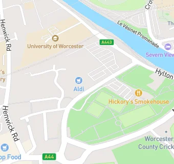
BLOCLEats

Aldi

Tybridge Street Retail Park
Tybridge Street
Worcester
WR25BA

Food rating: ★★★★★ 5/5 stars
Updated: 13. May 2019

map for Aldi

Near Aldi

  1. Supermarkets
  2. 0.2 miles★★★★★Sainsbury's, WR24EL
  3. 0.3 miles★★★★★Iceland, WR13LE
  4. 0.4 miles★★★★★Co-Op, WR25NY
  5. 0.4 miles★★★★★Tesco Express, WR12EX
  6. 0.5 miles★★★★★Friends Asian Supermarket, WR11UW
  7. 0.5 miles★★★★★Marks & Spencer, WR12QN
  8. 0.5 miles★★★★★Tesco Express, WR11DB
  9. 0.6 miles★★★★Asda, WR12DA
  10. Care Facilities
  11. 0.1 milesDancox House, WR25DZ
  12. Bars & Nightclubs
  13. ★★★★★Hickory's Smokehouse Worcester, WR25BA
  14. 0.1 miles★★★★★Consortium Of Cripplegate Bowlers, WR24QG
  15. 0.1 milesThe Grosvenor Arms, WR25NP
  16. Restaurants & Cafés
  17. 0.1 miles★★★★★The Range Home And Leisure/The Range Coffee Shop, WR25JW
  18. 0.1 miles★★★★★Worcestershire County Cricket Club, WR24QQ
  19. Takeaway Shops
  20. 0.1 miles★★★★Wokstar, WR25AD
  21. 0.2 miles★★★★★Bull Ring Chippy, WR25AH
  22. Schools
  23. 0.2 milesPerryfields Primary Pupil Referral Unit, WR25AX (11 pupils)
  24. 0.5 milesThe King's School, WR12LL (1306 pupils)
  25. Schools Primary
  26. 0.2 milesSt Clement's CofE Primary, WR25NS (264 pupils)
  27. 0.3 milesOur Lady Queen of Peace Catholic Primary, WR24EN
  28. Schools Secondary
  29. 0.3 milesChristopher Whitehead Language College, WR24AF (1526 pupils)

See all Supermarkets in Worcester.