Ali's Convenience Store
Ali's Convenience Store
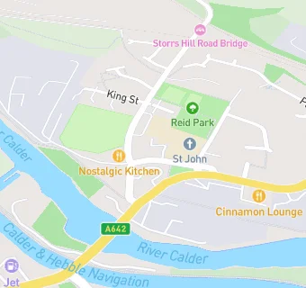
206A Bridge Road
Horbury
Wakefield
WF45PSWakefield
Food rating:
★★★★★
5/5 stars
Updated:
Food rating:
★★★★★
5/5 stars
Updated:
See all Retail Stores in Horbury.