All Saints Community Centre
All Saints Community Centre
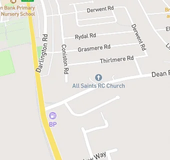
Dean Road
Ferryhill
DL178ETFerryhill
Food rating:
★★★★★
5/5 stars
Updated:
Food rating:
★★★★★
5/5 stars
Updated:
See all Bars & Nightclubs in Ferryhill.