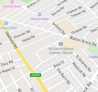
All Saints Parish Centre
All Saints Parish Centre
All Saints Parish Centre Oakfield
Liverpool
L42QGFood rating:
★★★★★
5/5 stars
Updated:
Food rating:
★★★★★
5/5 stars
Updated:
See all Bars & Nightclubs in Liverpool.