BLOCLEats

Amigo

Kettering General Hospital
Rothwell Road
Kettering
Northamptonshire
NN168UZ

Food rating: ★★★★★ 5/5 stars
Updated: 15. June 2022

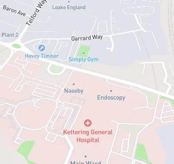
map for Amigo

Near Amigo

  1. Retail Stores
  2. 0.2 miles★★★★★Taffy Town UK, NN168TD
  3. 0.2 miles★★★★★Poundland, NN169XW
  4. 0.3 miles★★★★★Sports Direct, NN169TS
  5. 0.3 miles★★★★★The Food Warehouse, NN169TS
  6. 0.5 miles★★★★★Chrysler Garage, NN168HR
  7. 0.5 miles★★★★★Morrisons Petrol Garage, NN168TB
  8. 0.5 miles★★★★★Morrisons Daily Kettering, NN168TB
  9. 0.6 miles★★★★★Holland & Barrett, NN168JL
  10. Care Facilities
  11. ★★★★★Patient Food Service, NN168UZ
  12. Logistics Providers
  13. 0.2 miles★★★★★KCU, NN169XW
  14. Food Trucks
  15. 0.2 miles★★★★★Creatisan Ltd, NN168TD
  16. Bars & Nightclubs
  17. ★★★★★KGH Social Club, NN168UZ
  18. Restaurants & Cafés
  19. ★★★★★Coffee House, NN168UZ
  20. ★★★★★Costa Coffee, NN168UZ
  21. 0.1 miles★★★★★The Basement Brasserie, NN168UZ
  22. 0.2 miles★★★★★McDonalds, NN169XW
  23. Schools
  24. 0.4 milesWren Spinney Community School, NN157LB (88 pupils)
  25. 0.6 milesYouth Works Community College, NN169HX (5 pupils)
  26. Schools Primary
  27. 0.5 milesSt Thomas More Catholic Primary School, NN157JZ (218 pupils)
  28. 0.6 milesSt Andrew's Church of England Primary School, NN169DF (366 pupils)
  29. 0.9 milesKettering Park Infant Academy, NN169RU (252 pupils)

See all Retail Stores in Kettering.