BLOCLEats

Amigo

Southmead Hospital
Southmead Road
Southmead
Bristol
BS105NB

Food rating: ★★★★★ 5/5 stars
Updated: 2. November 2021

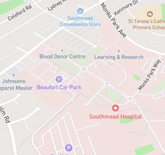
map for Amigo

Near Amigo

  1. Retail Stores
  2. 0.5 miles ★★★★★Tesco Express, BS106BQ
  3. 0.6 miles Paynes Of Filton, BS70SG
  4. 0.6 miles Fruit And Veg Land, BS70SG
  5. 0.7 miles Lloyds Chemist, BS105PY
  6. 0.7 miles ★★★★★Spice World, BS70SF
  7. 0.7 miles ★★★★★Greggs Plc, BS70SH
  8. 0.7 miles ★★★★★Eden General Stores, BS70SF
  9. 0.7 miles Filton Market, BS70SF
  10. Care Facilities
  11. ★★★★★Avon and Wiltshire Mental Health (Kitchen), BS105NB
  12. ★★★★★NBT Catering, The Vu Restaurant and Cafe,(staff canteen), BS105NB
  13. Catering Services
  14. ★★★★★League of Friends (051-0-002) - Coffee Shop, BS105NB
  15. Restaurants & Cafés
  16. The Willow, BS105NB
  17. ★★★★★Costa Coffee 86084 & 86086, BS105NB
  18. Supermarkets
  19. 0.2 miles ★★★★★Lidl, BS105NE
  20. School Food Ratings
  21. 0.2 miles ★★★★★Chartwells, BS105BD
  22. 0.2 miles Let's Play (Bristol) Ltd, BS105BD
  23. Schools Primary
  24. 0.3 miles St Teresa's Catholic Primary School, BS70UP (209 pupils)
  25. 0.3 miles Horfield Church of England Primary School, BS105BD (409 pupils)
  26. 0.6 miles Fonthill Primary Academy, BS105SW (230 pupils)
  27. 0.7 miles Upper Horfield Primary School, BS70PU (196 pupils)
  28. Schools Secondary
  29. 0.5 miles Orchard School Bristol, BS70XZ (907 pupils)