BLOCLEats

Astley Conservative & Unionist Club

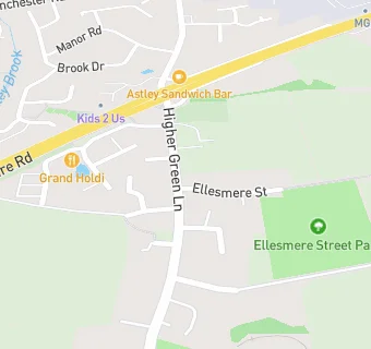
90-94 Higher Green Lane
Astley
Tyldesley Manchester
M297HZ

Food rating: ★★★★★ 5/5 stars
Updated: 10. May 2018

map for Astley Conservative & Unionist Club

Near Astley Conservative …

  1. Bars & Nightclubs
  2. 0.5 miles★★★★Astley Labour Club, M297DY
  3. 0.5 miles★★★★Atherton Cricket Club, M290RQ
  4. 0.5 miles★★★★★Astley Community Club, M297DY
  5. 1.0 mileRosso Bianco, M281AN
  6. 1.1 miles★★★★Boothstown Royal British Legion, M281HQ
  7. 1.1 milesKing William VI, M281AE
  8. 1.1 miles★★★★★Astley & Tyldesley Miners Welfare Society, M297DW
  9. 1.2 miles★★★★★Tyldesley Subscription Bowling Club, M298HD
  10. Restaurants & Cafés
  11. 0.1 miles★★La Casa, M297SG
  12. 0.1 miles★★★★★Lizhi, M297SG
  13. 0.1 miles★★The Point Astley, M297SG
  14. 0.1 miles★★★★★Club Rasoi Indian Restaurant & Bar, M297SG
  15. 0.1 miles★★★★★SIGDI Indian Restaurant & Bar, M297SG
  16. 0.2 milesZest, M297HX
  17. Takeaway Shops
  18. 0.1 milesAstley's Sandwich and Delicatessen, M297HG
  19. Doctors
  20. 0.2 milesDr Vardhan's Surgery, M297HG
  21. Schools Primary
  22. 0.5 milesSt Stephen's CofE Primary School, M297BT (209 pupils)
  23. 0.6 milesSt Ambrose Barlow Catholic Primary School, M297DY (211 pupils)
  24. 0.8 milesHoly Family Catholic Primary School, M281AG (203 pupils)
  25. 0.9 milesTyldesley Primary School, M297PY (448 pupils)
  26. Schools Secondary
  27. 0.7 milesSt Mary's Catholic High School, M297EE (1548 pupils)

See all Bars & Nightclubs in Astley.