BLOCLEats

Blue Sky

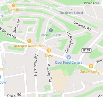
468A West Green Road
Tottenham
London
N153PT

Food rating: ★★★★★ 5/5 stars
Updated: 13. March 2019

map for Blue Sky

Near Blue Sky

  1. Restaurants & Cafés
  2. ★★Pantanal Bar & Restaurant LTD, N153PL
  3. ★★★★★Bibi's Canteen @, N153PW
  4. 0.1 miles★★★★★Plovdiv Cafe, Ponari Limited, N80SJ
  5. 0.1 miles★★Lahmacun Dunyasi, N153DA
  6. 0.1 miles★★★★Durak Tantuni SalonuDurak Restaurant, N153PX
  7. 0.1 miles★★★★★Selale Restaurant, N80RX
  8. 0.2 miles★★★★★Beans & Barley, N80RE
  9. 0.2 miles★★★★★Costa Coffee, N80QY
  10. Care Facilities
  11. ★★★Forward Support Ltd, N153EU
  12. Retail Stores
  13. 0.1 miles★★★★★Cansu Food Express, N153DA
  14. 0.1 miles★★★★★Bakery, N80SJ
  15. 0.1 miles★★★★★Vitamin Shock, N80SJ
  16. Supermarkets
  17. 0.1 miles★★★★★Tesco Express, N80RX
  18. School Food Ratings
  19. 0.1 miles★★★★★HCL Ltd @, N153HD
  20. Takeaway Shops
  21. 0.1 miles★★★★★It’s Greek Time, N153EL
  22. 0.1 miles★★★★Changing Lives Forever - Tottenham @, N153EP
  23. Schools
  24. 0.2 milesThe Grove, N176AR (128 pupils)
  25. Schools Nursery
  26. 0.3 milesWoodlands Park Nursery School and Childrens Centre, N153SD (152 pupils)
  27. Schools Primary
  28. 0.1 milesSt John Vianney RC Primary School, N153HD (223 pupils)
  29. 0.2 milesWest Green Primary School, N153RT (203 pupils)
  30. Schools Secondary
  31. 0.3 milesPark View School, N153QR (1120 pupils)

See all Restaurants & Cafés in Islington.