BLOCLEats

Boots

11 Stirling Street
Denny
FK66EL

Food rating: Exempt
Updated: 27. January 2023

map for Boots

Near Boots

  1. Retail Stores
  2. 0.1 milesKeystore Denny, FK66DB
  3. 1.4 milesKeystore, FK41PL
  4. 1.8 milesBonnybridge Service Station, FK41AG
  5. 2.9 milesRemo Serapiglia, FK53AW
  6. 3.0 milesVillage Garage Engineers Ltd, FK78BS
  7. 3.2 milesVillage Store, FK78BS
  8. 3.2 milesKeystore, FK78BS
  9. 3.2 milesU Save - Day Today Store, FK78BS
  10. Bars & Nightclubs
  11. 0.2 milesLodge St Andrew No 176, FK66EP
  12. Restaurants & Cafés
  13. 0.1 milesDenny Baptist Church, FK66HD
  14. 0.1 milesSt Alexanders Church, FK66DL
  15. School Food Ratings
  16. 0.2 milesDenny Primary School, FK66NP
  17. Chemists
  18. H & C Healthcare Ltd, FK66EL
  19. Boots UK Ltd, FK66EL
  20. Doctors
  21. 0.1 milesCarronbank Medical Practice, FK66GD
  22. 0.1 milesDenny Cross Medical Centre, FK66DB
  23. Schools
  24. 0.2 milesSt Patrick's RC Primary School, FK66DW (279 pupils)
  25. 0.2 milesDenny Primary School, FK66NW (327 pupils)
  26. 0.5 milesDenny High School, FK66EE (1401 pupils)
  27. 0.5 milesNethermains Primary School, FK65AR (173 pupils)
  28. 0.5 milesDunipace Primary School, FK66LS (166 pupils)

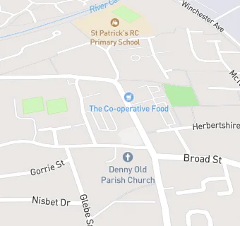
See all Retail Stores in Denny.