BLOCLEats

Boots

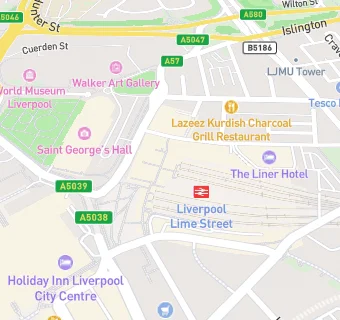
Boots Liverpool Lime Street Station Lime Street
Liverpool
L11JD

Food rating: ★★★★★ 5/5 stars
Updated: 23. January 2020

map for Boots

Near Boots

  1. Retail Stores
  2. ★★★★★M to Go Lime Street, L11JD
  3. ★★★★★W H Smith, L11JD
  4. 0.1 miles★★★★★Lalitha Superstore, L11JN
  5. 0.1 milesBA Super Snack, L11LY
  6. 0.1 miles★★★★Go Local/Star News, L38HR
  7. 0.1 miles★★★★★American Candy Empire LTD, L11LS
  8. 0.1 miles★★★★★Premier Newsagents, L35LX
  9. 0.1 milesKonbi Mart, L35AF
  10. Logistics Providers
  11. ★★★★★DHL Service Centre, L11JD
  12. Hotels & BnBs
  13. ★★★★★Radisson Red, L11RD
  14. Catering Services
  15. 0.1 milesSubway, L11LT
  16. Restaurants & Cafés
  17. ★★★★★Costa Coffee, L11JD
  18. ★★★★Uppercrust, L11JD
  19. ★★★★★The North Western (Wetherspoons), L11RJ
  20. 0.1 milesEl Vino, L11NB
  21. Supermarkets
  22. ★★★★★M&S Simply Food, L11JD
  23. Schools
  24. 0.4 milesLiverpool John Moores University, L35UX
  25. Schools 16 Plus
  26. 0.3 milesThe City of Liverpool College, L35TP
  27. Schools Primary
  28. 0.3 milesPleasant Street Primary School, L35TS (231 pupils)
  29. 0.4 milesSt Nicholas Catholic Academy, L35XF (186 pupils)
  30. 0.4 milesHoly Cross Catholic Primary School, L32DU (222 pupils)

See all Retail Stores in Liverpool.