BLOCLEats

BP Kettering East SFC

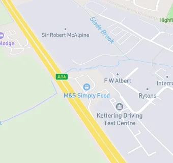
Bp Service Station A14 Eastbound
A14 Eastbound
Kettering
North Northamptonshire
NN141RW

Food rating: ★★★★★ 5/5 stars
Updated: 25. April 2024

map for BP Kettering East SFC

Near BP Kettering …

  1. Retail Stores
  2. ★★★★★BP Connect (Kettering West Service Station), NN141RW
  3. 0.5 miles★★★★★B & M Retail Ltd, NN156YA
  4. 1.2 miles★★★★★Deli Bloc, NN160AN
  5. 1.3 miles★★★★★Morrisons Daily Kettering, NN168TB
  6. 1.3 miles★★★★★Morrisons Petrol Garage, NN168TB
  7. 1.5 milesTK Maxx, NN168JA
  8. 1.5 miles★★★★★Adams Green Grocer, NN168JA
  9. 1.6 miles★★★★★Home Bargains, NN168JL
  10. Catering Services
  11. 0.1 miles★★★★★Portfolio Events, NN156NL
  12. Bars & Nightclubs
  13. 0.3 miles★★★★★The Mikado Pheasant, NN156JS
  14. Restaurants & Cafés
  15. 0.1 miles★★★★★McDonalds, NN156NL
  16. 0.2 miles★★★★★Starbucks, NN141RW
  17. 0.2 milesEverlast Gyms Kettering, NN156NL
  18. 0.3 miles★★★★★Pytchley Golf Lodge Ltd, NN141EY
  19. 0.3 miles★★★★★Zenith Catering, NN141EY
  20. Chemists
  21. 0.3 milesTesco Instore Pharmacy, NN156XB
  22. Schools
  23. 0.9 milesSt Peter's School, NN156DJ (105 pupils)
  24. Schools Primary
  25. 0.5 milesGreenfields Primary School and Nursery, NN156HY (469 pupils)
  26. 0.9 milesHawthorn Community Primary School, NN157HT (314 pupils)
  27. Schools Secondary
  28. 0.5 milesBishop Stopford School, NN156BJ (1453 pupils)
  29. 0.7 milesSouthfield School for Girls, NN156HE (1186 pupils)

See all Retail Stores in Kettering.