BLOCLEats

Brewnel's (NHS)

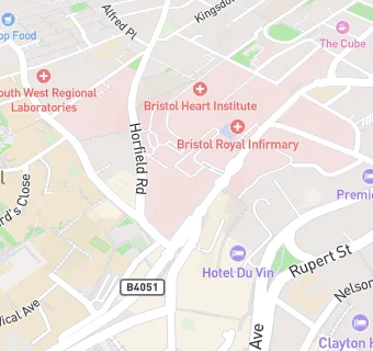
Bristol Royal Hospital For Sick Children
Upper Maudlin Street
City Centre
Bristol
BS28BJ

Food rating: ★★★★★ 5/5 stars
Updated: 1. November 2024

map for Brewnel's (NHS)

Near Brewnel's (NHS)

  1. Care Facilities
  2. ★★★★★Bristol Haematology and Oncology Centre, BS28ED
  3. ★★★★★Bristol Royal Children Hospital, BS28BJ
  4. 0.1 miles★★★★★UHBW Bristol Hospitals, BS28EG
  5. 0.1 miles★★★★★Main Kitchen & Wards, BS28HW
  6. 0.1 miles★★★★★Simply Food, BS28HW
  7. 0.2 milesCreative Youth Network, BS12AG
  8. 0.4 miles★★★★★Woodland House Nursery, BS81AU
  9. 0.4 miles★★★★★Zebras Afterschool Playscheme, BS66DT
  10. Catering Services
  11. 0.1 miles★★★★★The Emmanuel Meeting House, BS12NN
  12. 0.1 milesRonald McDonald House Bristol, BS28DH
  13. Bars & Nightclubs
  14. 0.1 miles★★★★★The Robin Hood, BS28DX
  15. 0.1 miles★★★★★The Bay Horse, BS12LJ
  16. Restaurants & Cafés
  17. ★★★★★Brewnel's Coffee House, BS28ED
  18. ★★★★★Brewnel's Coffee House, BS28BJ
  19. 0.1 miles★★★★★Costa Coffee (Inside the BRI), BS28HW
  20. Retail Stores
  21. 0.1 miles★★★★★WH Smith, BS28HW
  22. Schools
  23. 0.3 milesUniversity of Bristol, BS81TH
  24. 0.3 milesBristol Grammar School, BS81SR (1389 pupils)
  25. Schools Primary
  26. 0.1 milesWillow Park CofE Primary School, BS28BE (127 pupils)
  27. 0.5 milesCathedral Primary School, BS15TS (422 pupils)
  28. Schools Secondary
  29. 0.4 milesCotham School, BS66DT (1638 pupils)

See all Care Facilities in Bristol.