Bungay Community Support
Bungay Community Support
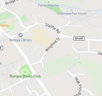
28 Wingfield Street
Bungay
Suffolk
NR351EZSuffolk
Food rating:
★★★★★
5/5 stars
Updated:
Food rating:
★★★★★
5/5 stars
Updated:
See all Retail Stores in Bungay.