BLOCLEats

Care Ashore

Merchant Seamans War Memorial Society
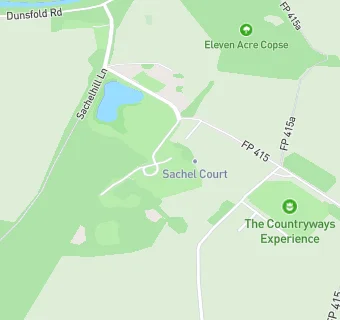
Sachel Court Mews
Alfold
Cranleigh
GU68EX

Food rating: ★★★★★ 5/5 stars
Updated: 27. July 2023

map for Care Ashore

Near Care Ashore

  1. Bars & Nightclubs
  2. 1.0 mile★★★★★The Sir Roger Tichborne, RH140QS
  3. 1.7 miles★★★★★The Sun Inn, GU84LE
  4. 2.9 miles★★★★★Sun Inn, RH140PX
  5. 3.1 miles★★★★★The Fox Inn, RH123JP
  6. 3.1 miles★★★★★The Richard Onslow, GU68AU
  7. 3.1 miles★★★★The Three Horseshoes, GU68AE
  8. 3.3 miles★★★★★Cantelo's Catering, GU67AN
  9. 3.5 miles★★★★★The White Horse, GU84JA
  10. Care Facilities
  11. 1.1 miles★★★★★Little Harriers Day Nursery, GU68TB
  12. Food Trucks
  13. 0.6 miles★★★★Willys Neapolitan Pizza, GU68JB
  14. Catering Services
  15. 0.7 miles★★★★★Alfold Sports and Social Club,
  16. 1.5 miles★★★Cranleigh Rugby Football Club,
  17. Restaurants & Cafés
  18. 0.6 miles★★★★★Rebecca Pearl, GU68JB
  19. 1.1 miles★★★★★Cafe on the Park, GU68TB
  20. Retail Stores
  21. 0.8 miles★★★★★BP Alfold Filling Station, GU68JE
  22. 1.7 miles★★★★★Dunsfold Village Store And Post Office, GU84LE
  23. Schools
  24. 1.2 milesJigsaw CABAS School, GU68TB (75 pupils)
  25. 1.8 milesRikkyo School-in-England, RH123BE (187 pupils)
  26. Schools Primary
  27. 2.1 milesLoxwood Primary School, RH140SR (184 pupils)
  28. 2.9 milesPlaistow and Kirdford Primary School, RH140PX (205 pupils)
  29. 3.2 milesCranleigh Church of England Primary School, GU67AN

See all Bars & Nightclubs in Cranleigh.