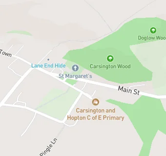
Carsington And Hopton (Voluntary Aided) Church Of
Carsington And Hopton (Voluntary Aided) Church Of
School Lane
Carsington
Derbyshire
DE44JNDerbyshire
Food rating:
★★★★★
5/5 stars
Updated:
Food rating:
★★★★★
5/5 stars
Updated:
See all School Food Ratings in Matlock.