BLOCLEats

Chartwells

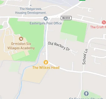
Eastergate Church Of England Primary School Church Lane
Eastergate
West Sussex
PO203UT

Food rating: ★★★★★ 5/5 stars
Updated: 16. July 2024

map for Chartwells

Near Chartwells

  1. School Food Ratings
  2. 0.2 miles★★★★★Ormiston Six Villages Academy, PO203UE
  3. 0.4 miles★★★★★Chartwells, PO203QR
  4. 0.8 miles★★★★★Impact Food Group, PO220EN
  5. 0.9 miles★★★★★Chartwells, PO220HW
  6. 1.8 miles★★★★★Chartwells, BN180PH
  7. 1.8 miles★★★★★Community Playcentre At Walberton, BN180PJ
  8. 2.2 miles★★★★★Chartwells, BN180QU
  9. 2.2 miles★★★★★Slindon College, BN180RH
  10. Food Trucks
  11. 0.2 milesHazza Bakes, PO203RE
  12. Catering Services
  13. 0.2 miles★★★★★Eastergate Village Hall, PO203RP
  14. Bars & Nightclubs
  15. ★★★★★The Wilkes Head, PO203UT
  16. Restaurants & Cafés
  17. 0.3 milesPrachee Indian restaurant, PO203UG
  18. Retail Stores
  19. 0.2 miles★★★★Central Stores, PO203UP
  20. Chemists
  21. 0.2 milesThe Croft Pharmacy, PO203RP
  22. Doctors
  23. 0.2 milesCroft Practice, PO203RP
  24. 0.2 milesThe Croft Surgery, PO203RP
  25. Schools Primary
  26. 0.1 milesEastergate CofE Primary School, PO203UT (200 pupils)
  27. 0.6 milesAldingbourne Primary School, PO203QR (213 pupils)
  28. 0.9 milesBarnham Primary School, PO220HW (301 pupils)
  29. Schools Secondary
  30. 0.2 milesOrmiston Six Villages Academy, PO203UE (695 pupils)
  31. 0.8 milesSt Philip Howard Catholic School, PO220EN (1247 pupils)

See all School Food Ratings in Barnham.