Chorlton and Didsbury Foodbank
Chorlton and Didsbury Foodbank
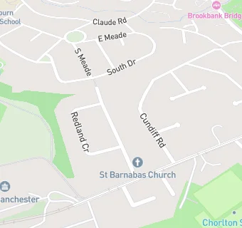
St Barnabus Church
Hurstville Road
Manchester
M218DHManchester
Food rating:
★★★★★
5/5 stars
Updated:
Food rating:
★★★★★
5/5 stars
Updated:
See all Retail Stores in Manchester.