Christophers lounge
Christophers lounge
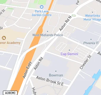
23 Aston Road North
Birmingham
B64DTFood rating:
★★★★★
5/5 stars
Updated:
Food rating:
★★★★★
5/5 stars
Updated:
See all Bars & Nightclubs in Birmingham.