Be Local
Eats
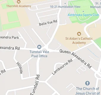
Co-op
Co-op
Queen Alexandra Road
North Shields
Tyne And Wear
Food rating:
★★★★★
5/5 stars
Updated:
12. August 2024
Your feedback
+
claim premises
Near Co-op
Retail Stores
Leema Pharmacy
, SR27RW
★★★★★
Premier - Wilsons Convenience Store
, SR29AB
0.3
miles
★★★★★
Ashbrooke Store
, SR27HP
0.5
miles
★★★★★
Esso Service Station - The Barnes
, SR27RB
0.5
miles
★★★
Barnes Covenience Store
, SR34AA
0.5
miles
★★★★★
Dhillons - Londis
, SR27BT
0.5
miles
★★★★★
Dhillons Premier Convenience Store
, SR29EE
0.5
miles
★★★★★
Spar Supermarket@ Shell Filling Station
, SR27SZ
Bars & Nightclubs
0.1
miles
★★★★★
Rosedene
, SR29BT
Restaurants & Cafés
0.2
miles
★★★★★
Babu
, SR27RR
0.2
miles
The Willow Tree Coffee & Kitchen
, SR27HH
0.2
miles
★
Vista Coffee House
, SR27HH
School Food Ratings
0.1
miles
Ashbrooke School
, SR27JA
Chemists
Leema Pharmacy
, SR27RW
0.2
miles
B Braun Medical Ltd
, SR27RR
0.2
miles
B Braun Medical Ltd
, SR27RR
Schools
0.3
miles
Consilium Evolve
, SR27NA
0.3
miles
Barbara Priestman Academy
, SR27QN (172 pupils)
Schools Primary
0.3
miles
St Mary's Catholic Primary School, Sunderland
, SR27QN (468 pupils)
Schools Secondary
0.1
miles
St Aidan's Catholic Academy
, SR27HJ (943 pupils)
0.4
miles
Thornhill Academy
, SR27NA (596 pupils)