BLOCLEats

Co-Op

Midcounties Co-operative Foodstore
Lechlade Filling Station
Station Road
Lechlade
GL73EY

Food rating: ★★★★★ 5/5 stars
Updated: 1. October 2018

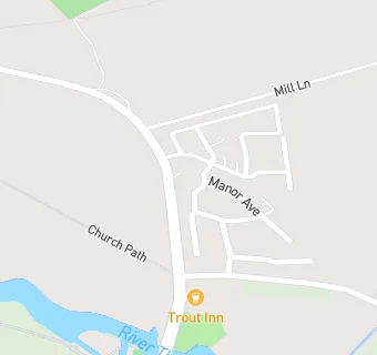
map for Co-Op

Near Co-Op

  1. Supermarkets
  2. 0.6 miles★★★★★Budgens Stores (Londis), GL73AP
  3. 3.6 miles★★★★★Aldi Stores Limited, SN67NA
  4. 4.3 miles★★★★★Tesco Stores Ltd, SN67DN
  5. 4.5 miles★★★★★Co-Op, GL74AB
  6. 4.5 miles★★★★★The Midcounties Co-operative, SN67AJ
  7. 4.9 miles★★★★★Tesco Metro, SN77BP
  8. 5.3 miles★★★★★Aldi Stores Ltd, SN77GQ
  9. 5.3 miles★★★★★Waitrose, SN77GQ
  10. Bars & Nightclubs
  11. 0.2 miles★★★★★Trout Inn, GL73HA
  12. 0.6 miles★★★★★New Inn Hotel, GL73AB
  13. Restaurants & Cafés
  14. 0.2 miles★★★★Elsa's,
  15. 0.6 miles★★★★★Lynwood And Co, GL73AB
  16. School Food Ratings
  17. 0.5 miles★★★★★Caterlink At St Lawrence C Of E Primary School, GL73AU
  18. Chemists
  19. 0.6 milesLechlade Pharmacy, GL73AA
  20. Dentists
  21. 0.6 milesLechlade Dental Practice, GL73AP
  22. Doctors
  23. 0.6 milesLechlade Medical Centre, GL73RY
  24. Schools Primary
  25. 0.5 milesSt Lawrence Church of England Primary School, GL73AU (187 pupils)
  26. 2.4 milesSt Christopher's Church of England School, GL73LA (149 pupils)
  27. 3.0 milesSouthrop Church of England Primary School, GL73NU (36 pupils)
  28. 4.1 milesClanfield CofE Primary School, OX182SP (99 pupils)
  29. 4.3 milesWestrop Primary & Nursery School, SN67DN (363 pupils)

See all Supermarkets in Lechlade.