Co-operative
Co-operative
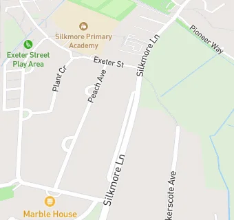
Silkmore Lane
Stafford
Staffordshire
ST174JDStafford
Staffordshire
Food rating:
★★★★★
5/5 stars
Updated:
Food rating:
★★★★★
5/5 stars
Updated:
See all Supermarkets in Stafford.