BLOCLEats

Co-operative

Dishley Street
Leominster
HR68PX

Food rating: ★★★★★ 5/5 stars
Updated: 27. July 2022

map for Co-operative

Near Co-operative

  1. Supermarkets
  2. 0.8 miles★★★★★Morrisons, HR68RH
  3. 8.2 miles★★★★★Co-Op, WR158BS
  4. 8.6 miles★★★★★Tesco, WR158AA
  5. 9.8 miles★★★★★Spar / Subway, SY81AS
  6. 9.9 miles★★★★★Tesco Stores Ltd, SY82PG
  7. 10.1 miles★★★★★Aldi, SY82PQ
  8. 10.6 miles★★★★★Sainsbury's, SY82EY
  9. 11.0 miles★★★★★Food Warehouse, HR49SB
  10. Bars & Nightclubs
  11. ★★★★★Kaz's, HR68EP
  12. 0.1 miles★★★★★Duke's Head, HR68LR
  13. Restaurants & Cafés
  14. 0.1 miles★★★★Leominster Methodist Church, HR68QJ
  15. 0.1 milesLeominster Bowling Club, HR68LB
  16. Takeaway Shops
  17. ★★★★Amore Pizza Kebab House, HR68NY
  18. Chemists
  19. Leominster Pharmacy, HR68EP
  20. 0.1 milesW S & B Rees Chemists, HR68LZ
  21. 0.1 milesBoots, HR68LR
  22. Schools
  23. 0.1 milesWestfield School, HR68NZ (71 pupils)
  24. 0.2 milesCambian Hereford School, HR68LL (15 pupils)
  25. Schools Primary
  26. 0.4 milesLeominster Primary School, HR68JU (571 pupils)
  27. 1.9 milesIvington CofE Primary and Pre-School, HR60JH (115 pupils)
  28. Schools Secondary
  29. 0.3 milesEarl Mortimer College, HR68JJ (539 pupils)

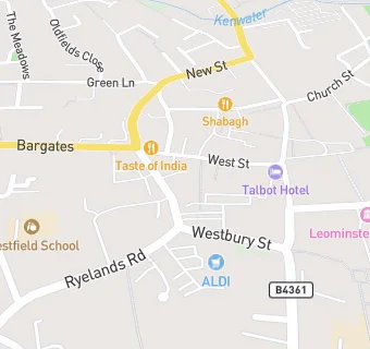
See all Supermarkets in Leominster.