BLOCLEats

Co-operative Group

28 Adwick Road
Mexborough
Doncaster
S640DB

Food rating: ★★★★★ 5/5 stars
Updated: 20. November 2024

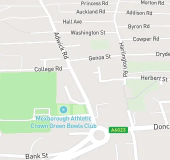
map for Co-operative Group

Near Co-operative Group

  1. Supermarkets
  2. 0.8 miles★★★★★Farmfoods, S649EE
  3. 1.1 miles★★★★★Asda, DN124TJ
  4. 2.2 miles★★★★★Sainsbury's, DN123HP
  5. 2.8 miles★★★★★Asda, S639NQ
  6. 3.2 miles★★★★★Aldi, S639PJ
  7. 3.7 miles★★★★★Home Bargains, S630JR
  8. 3.7 miles★★★★★Asda Supermarket, DN121DL
  9. 3.8 miles★★★★★Asda, S630JZ
  10. Care Facilities
  11. ★★★★★Blossom Tree Mexborough Nursery Limitied, S640DB
  12. Restaurants & Cafés
  13. ★★★★★Peckish, S640DB
  14. 0.1 miles★★★★★Mexborough Community Hub, S640JL
  15. Retail Stores
  16. 0.1 milesCohens Chemist, S640JP
  17. Chemists
  18. Eightlands(Pharmacy M), S640DB
  19. 0.1 milesCohens Chemist, S640JP
  20. Dentists
  21. Rotherham Nhs Foundation Trust, S640DB
  22. Doctors
  23. The New Surgery, S640DB
  24. Schools Primary
  25. 0.3 milesNew Pastures Primary School, S640LT (269 pupils)
  26. 0.4 milesMexborough St John the Baptist CofE Primary School, S640BE (237 pupils)
  27. 0.5 milesMontagu Academy, S649PH (352 pupils)
  28. 0.7 milesWindhill Primary School, S640PQ (313 pupils)
  29. Schools Secondary
  30. 0.8 milesThe Laurel Academy, S649SD (705 pupils)

See all Supermarkets in Mexborough.