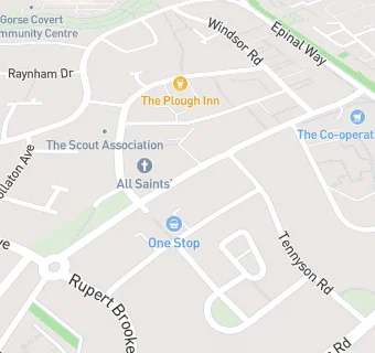
BLOCLEats

Co-operative Group

Knightthorpe Road
Loughborough
LE114JX

Food rating: ★★★★★ 5/5 stars
Updated: 19. June 2022

Food ratings

Hygiene: 5
Structural: 5

map for Co-operative Group

Near Co-operative Group

  1. Retail Stores
  2. 0.4 milesMorrisons Daily Loughborough, LE114RZ
  3. 0.6 miles★★★★The Range, LE115HG
  4. 0.6 miles★★★★★Halfords Superstore,, LE115HG
  5. 0.6 miles★★★★★B&M Retail, LE115HG
  6. 0.7 miles★★★★★Sharpley Road News & Post Office, LE114PJ
  7. 0.8 miles★★★★★LSU Art Shop,
  8. 0.8 milesOpen Heaven Church, LE115EQ
  9. 0.8 miles★★★★★L S U College Shop, LE113BT
  10. Care Facilities
  11. 0.4 miles★★★★★Rushcliffe Care Group, LE115JY
  12. Catering Services
  13. 0.1 miles★★★★All Saints’ Church, Thorpe Acre, LE114LF
  14. 0.2 milesAnchor Housing Association,
  15. 0.3 miles★★★★★Knightthorpe Methodist Church, LE115JU
  16. 0.4 milesJM Football Sports Academy, LE114SQ
  17. Restaurants & Cafés
  18. 0.4 miles★★★★★RVS Cafe, LE115JY
  19. School Food Ratings
  20. 0.2 miles★★★★★Caterlink Ltd (former Upper and 6th form kitchens), LE114SQ
  21. 0.4 miles★★★★★Thorpe Acre Infant School, LE114SQ
  22. Schools Primary
  23. 0.2 milesThorpe Acre Junior School, LE114SQ (188 pupils)
  24. 0.2 milesThorpe Acre Infant School, LE114SQ (142 pupils)
  25. 0.5 milesRobert Bakewell Primary School, LE115UJ (307 pupils)
  26. Schools Secondary
  27. 0.3 milesCharnwood College, LE114SQ (583 pupils)
  28. 0.3 milesDe Lisle College Loughborough Leicestershire, LE114SQ (1297 pupils)

See all Retail Stores in Loughborough.