BLOCLEats

Co-Operative Petrol Station

Haddon Road
Bakewell
Derbyshire
DE451EP

Food rating: ★★★★★ 5/5 stars
Updated: 9. September 2022

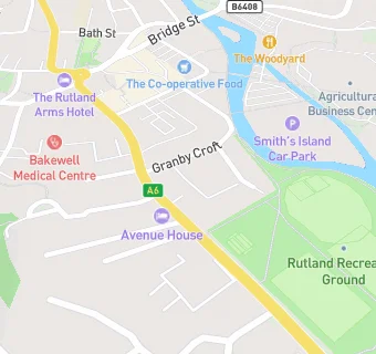
map for Co-Operative Petrol Station

Near Co-Operative Petrol …

  1. Retail Stores
  2. 0.1 miles★★★★★The Ginger Butchers, DE451ES
  3. 0.1 milesBoots UK Ltd, DE451ES
  4. 0.1 miles★★★★★Holland & Barrett, DE451ES
  5. 0.1 miles★★★★★Cheese and Wine Emporium, DE451EW
  6. 0.1 miles★★★★★Spar And Post Office, DE451ES
  7. 0.1 miles★★★★★The Derbyshire Emporium, DE451EE
  8. 0.2 miles★★★★★Park View Service Station, DE451AW
  9. 0.2 miles★★★★Grape Tree, DE451EE
  10. Bars & Nightclubs
  11. ★★★Manners Hotel, DE451EP
  12. Restaurants & Cafés
  13. 0.1 miles★★★★★The Honey Bun Cafe, DE451EW
  14. 0.1 miles★★★★★Jordan Cafe, DE451EW
  15. 0.1 miles★★★★★Lick, DE451EW
  16. 0.1 miles★★★★★Bakewell Tart Shop & Coffee House, DE451EE
  17. 0.1 miles★★★★★Granby Cafe, DE451EG
  18. 0.1 milesDead Canary, DE451EE
  19. Chemists
  20. Bakewell Pharmacy, DE451ET
  21. Schools
  22. 0.4 milesSt Anselm's School, DE451DP (134 pupils)
  23. Schools Primary
  24. 0.3 milesBakewell CofE Infant School, DE451BX (33 pupils)
  25. 0.4 milesBakewell Methodist Academy, DE451FR
  26. 2.1 milesPilsley CofE Primary School, DE451UF (61 pupils)
  27. Schools Secondary
  28. 0.6 milesLady Manners School, DE451JA (1414 pupils)

See all Retail Stores in Bakewell.