BLOCLEats

Coalgate

Coalgate The Wynd Ormiston Tranent East Lothian
EH355HN

Food rating: Pass
Updated: 16. January 2017

map for Coalgate

Near Coalgate

  1. Bars & Nightclubs
  2. 1.2 milesElphinstone Miners Welfare Charitable Society, EH332NA
  3. 1.9 milesEast Lothian Co-op Employees Bowling & Social Club, EH332BG
  4. 2.0 milesRoss High Rugby Football Club, EH332DB
  5. 2.0 milesPencaitland & Winton Bowling & Community Club, EH345DN
  6. 2.1 milesBlair Hall (Orange Lodge Meeting Place) LOL228, EH331HW
  7. 2.1 milesLodge Nisbet Social Club, EH332DL
  8. 2.2 milesWhispers, EH331LW
  9. 2.3 milesKeepers Arms, EH331AQ
  10. Care Facilities
  11. 0.1 milesOrmiston Primary School Nursery Class, EH355LQ
  12. Catering Services
  13. 0.1 milesOrmiston Community Centre / The Primrose Day Centre, EH355JB
  14. Restaurants & Cafés
  15. 0.1 milesMaggies Tea Room, EH355HT
  16. Retail Stores
  17. Ormiston Honey Farm, EH355LN
  18. 0.4 milesWell Pharmacy, EH355AB
  19. Supermarkets
  20. 0.1 milesScottish Co-operative, EH355HS
  21. Takeaway Shops
  22. Joes Kitchen, EH355HY
  23. Chemists
  24. 0.4 milesBestway National Chemists Ltd, EH355AB
  25. Schools
  26. 0.1 milesOrmiston Primary School, EH355LQ (222 pupils)
  27. 1.3 milesElphinstone Primary School, EH332LX (43 pupils)
  28. 1.6 milesWindygoul Primary School, EH332QF (528 pupils)
  29. 1.9 milesPencaitland Primary School, EH345EZ (147 pupils)
  30. 2.1 milesRoss High School, EH332EQ (1229 pupils)

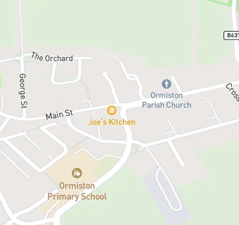
See all Bars & Nightclubs in Ormiston.