Community Centre
Community Centre
Community Hall
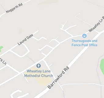
Wheatley Lane Road
Fence
Burnley
BB129EDFence
Burnley
Food rating:
★★★★★
5/5 stars
Updated:
Food rating:
★★★★★
5/5 stars
Updated:
See all Catering Services in Burnley.