BLOCLEats

Coopland's

88 King Street
South Shields
Tyne & Wear
NE331JE

Food rating: ★★★★★ 5/5 stars
Updated: 7. July 2023

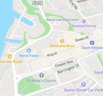
map for Coopland's

Near Coopland's

  1. Retail Stores
  2. Superdrug Stores, NE331JE
  3. ★★★★★M I Dickson Ltd, NE331DP
  4. Roots for Change UK, NE331DP
  5. ★★★★★Greggs Of Gosforth Ltd, NE331DP
  6. 0.1 miles Boots UK Ltd, NE331DH
  7. 0.1 miles CARD FACTORY, NE331HZ
  8. 0.1 miles New Look, NE331DH
  9. 0.1 miles ★★★★★Daily Bargains, NE331DA
  10. Bars & Nightclubs
  11. ★★★★Mechanics Arms, NE331BW
  12. ★★★★The Address, NE331BH
  13. Restaurants & Cafés
  14. ★★★★★Michael's Cafe, NE331BH
  15. ★★★FOOD IS FUEL LTD, NE331JE
  16. ★★★★Cafe 42, NE331BN
  17. 0.1 miles ★★★★★Frydays, NE331BT
  18. 0.1 miles ★★★★The Smithy, NE331BT
  19. Supermarkets
  20. 0.1 miles ★★★★★Heron Foods, NE331JF
  21. Schools Primary
  22. 0.4 miles St Bede's Catholic Primary School, South Shields, NE334PG (232 pupils)
  23. 0.4 miles Marine Park Primary School, NE332RD
  24. 0.4 miles Hadrian Primary School, NE332BB (274 pupils)
  25. 0.7 miles Laygate Community School, NE334JJ (250 pupils)
  26. 0.8 miles Waterville Primary School, NE296SL (209 pupils)