BLOCLEats

East Of England Co-operative Society

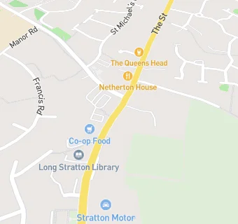
Cooperative Solar Supermarket
The Street
Long Stratton
Norfolk
NR152XJ

Food rating: ★★★★★ 5/5 stars
Updated: 13. September 2024

map for East Of England Co-operative Society

Near East Of …

  1. Supermarkets
  2. 4.7 miles★★★★★The Co-Operative Food, NR148BA
  3. 6.5 miles★★★★★East Of England Co-Op, IP209AT
  4. 6.9 miles★★★★★Kings Stores, NR162AF
  5. 7.3 milesTesco Stores Limited, NR147RQ
  6. 7.4 miles★★★★★Lidl, NR180WF
  7. 7.6 miles★★★★★Tesco Stores Ltd, NR46DZ
  8. 7.6 miles★★★★★Waitrose Ltd, NR180SS
  9. 7.7 miles★★★★★Co-operative, NR180AG
  10. Bars & Nightclubs
  11. 0.1 miles★★★★★The Queens Head, NR152XG
  12. Retail Stores
  13. ★★★★★Stratton Motor Company (Shell Forecourt), NR152XJ
  14. Well Pharmacy, NR152XJ
  15. Takeaway Shops
  16. ★★★★★Subway, NR152XJ
  17. ★★★★★Chicken Planet, NR152XJ
  18. 0.1 miles★★★★★Dominos Pizza, NR152XW
  19. 0.1 miles★★★★★The Chip Inn, NR152XG
  20. Chemists
  21. Well, NR152XJ
  22. Schools Primary
  23. 0.3 milesSt Mary's Church of England Junior Academy, NR152UY (176 pupils)
  24. 0.3 milesManor Field Infant and Nursery School, NR152XR (131 pupils)
  25. 2.1 milesForncett St Peter Church of England Voluntary Aided Primary School, NR161LT (93 pupils)
  26. 2.1 milesPreston Church of England Voluntary Controlled Primary School, NR151NU (125 pupils)
  27. Schools Secondary
  28. 0.3 milesLong Stratton High School, NR152XR (694 pupils)

See all Supermarkets in Long Stratton.