East Of England Co-Operative Society Ltd
East Of England Co-Operative Society Ltd
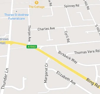
12 Laundry Lane
Thorpe St Andrew
Norfolk
NR70XENorfolk
Food rating:
★★★★★
5/5 stars
Updated:
Food rating:
★★★★★
5/5 stars
Updated:
See all Supermarkets in Norwich.