BLOCLEats

Gingersnaps Of Tynemouth

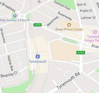
Covered Market Tynemouth Station
Station Terrace
Tynemouth
Tyne And Wear

Food rating: ★★★★★ 5/5 stars
Updated: 17. July 2023

Food ratings

Hygiene: 5

map for Gingersnaps Of Tynemouth

Near Gingersnaps Of …

  1. Food Trucks
  2. 0.9 miles★★★★★Medhead, NE301HF
  3. 0.9 miles★★★★★Jungle Coffee, NE301HF
  4. 1.1 miles★★★★★A Powell & daughters, NE332LD
  5. 1.1 miles★★★★★Traditional German Sausage, NE332JZ
  6. 1.1 miles★★★★★Coffee shop, NE332JZ
  7. 1.1 milesOasis Amusements, NE332JZ
  8. 1.1 miles★★★★★Bubble Waffle & Crepes (Mobile),
  9. 1.1 miles★★★★★Main Street Diner (Mobile), NE332JZ
  10. Catering Services
  11. ★★★★Davanti Classico, NE304RE
  12. Bars & Nightclubs
  13. ★★★★★Platform 2 Craft Ales, NE304RE
  14. Restaurants & Cafés
  15. 0.1 miles★★★★★Little Lobo, NE304LT
  16. 0.1 miles★★★★★Cullercoats Coffee On Front Street, NE304BP
  17. 0.1 miles★★★★★Riley's Fish Shop, NE304LZ
  18. Retail Stores
  19. ★★★★★Wrapped Sweet/Snack Stall,
  20. School Food Ratings
  21. ★★★★★Kings Priory School, NE304RF
  22. Takeaway Shops
  23. ★★★★★Jimmy's, NE304RE
  24. Schools
  25. 0.8 milesSouthlands School, NE302QR (160 pupils)
  26. Schools All Through
  27. 0.1 milesKings Priory School, NE304RF (1533 pupils)
  28. Schools Nursery
  29. 0.3 milesSir James Knott Memorial Nursery School, NE304AG (85 pupils)
  30. Schools Primary
  31. 0.6 milesKing Edward Primary School, NE302BD (457 pupils)
  32. 0.8 milesChrist Church CofE Primary School, NE302AD (179 pupils)