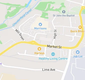
BLOCLEats

Harleys

Market Street
Chesterfield
S433UT

Food rating: ★★★★★ 5/5 stars
Updated: 27. March 2024

map for Harleys

Near Harleys

  1. Bars & Nightclubs
  2. ★★★★★Staveley Miners Welfare Club, S433UT
  3. ★★★★★Tilly's Tavern, S433UX
  4. 0.1 miles★★★★Beechers Brook, S433UU
  5. 0.3 miles★★★★★Staveley Miners Welfare FC, S433JL
  6. 0.4 miles★★★★★The Speedwell Inn, S433TT
  7. 0.5 miles★★★★★All Inn, S433TX
  8. 0.8 miles★★★★★Staveley Miners Sports Club, S433TU
  9. 1.0 mile★★★★Poolsbrook Social Welfare Club, S433LP
  10. Restaurants & Cafés
  11. ★★★★★The Pantry, S433UR
  12. Retail Stores
  13. ★★★★★Original Factory Shop, S433UR
  14. ★★★★★Staveley Post Office, S433UR
  15. Peak Pharmacy (Market Place), S433UR
  16. School Food Ratings
  17. 0.1 miles★★★★★Speedwell County Infants School, S433JJ
  18. Takeaway Shops
  19. ★★★★★Market Plaice Fish Bar, S433UR
  20. ★★★★★Delacarts, S433UR
  21. Dentists
  22. Jonathan Ward & Associates, S433UT
  23. Schools Primary
  24. 0.2 milesSpeedwell Infant School, S433JJ (120 pupils)
  25. 0.3 milesStaveley Junior School, S433XE (153 pupils)
  26. 0.5 milesSt Joseph's Catholic and CofE (VA) Primary School, S433LY (178 pupils)
  27. Schools Secondary
  28. 0.5 milesNetherthorpe School, S433PU (1100 pupils)
  29. 0.8 milesSpringwell Community College, S433NQ (893 pupils)

See all Bars & Nightclubs in Chesterfield.