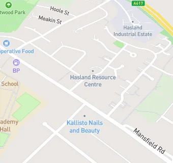
Hasland Resource Centre
Hasland Resource Centre
Heather Vale Road
Chesterfield
S410HZFood rating:
★★★★★
5/5 stars
Updated:
Food rating:
★★★★★
5/5 stars
Updated:
See all Care Facilities in Chesterfield.