BLOCLEats

Hathersage St Michaels Church Of England

School Lane
Hathersage
Derbyshire
S321BZ

Food rating: ★★★★★ 5/5 stars
Updated: 15. December 2023

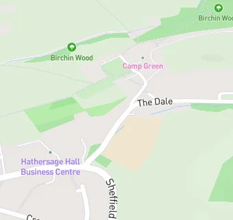
map for Hathersage St Michaels Church Of England

Near Hathersage St …

  1. School Food Ratings
  2. Peak Time Kids Club, S321BZ
  3. 2.0 miles★★★★★Bamford Primary School, S330AR
  4. 2.4 miles★★★★★Grindleford Primary School, S322HS
  5. 3.5 miles★★★★★Eyam Church Of England Controlled Primary School, S325QH
  6. 3.7 miles★★★★★Bradwell Church Of England Vountary Controlled, S339HJ
  7. 3.8 miles★★★★★Bradwell Junior School, S339JB
  8. 3.9 miles★★★★Stoney Middleton Church Of England (Controlled), S324TL
  9. 4.1 miles★★★★★Hope Primary School, S336ZF
  10. Bars & Nightclubs
  11. ★★★★Scotsmans Pack Public House, S321BZ
  12. Restaurants & Cafés
  13. 0.2 miles★★★★Maazi, S321BB
  14. 0.2 miles★★★★★St Michaels Environmental Education Centre, S321BB
  15. 0.2 miles★★★★Cintra's Tea Room, S321BB
  16. 0.2 miles★★★★★Open House, S321BB
  17. Retail Stores
  18. 0.1 milesValley Pharmacy, S321BB
  19. 0.2 miles★★★★★Peak Fruit, S321AA
  20. Takeaway Shops
  21. 0.2 miles★★★★Hathersage Fish And Chips, S321BB
  22. Schools Primary
  23. Hathersage St Michael's CofE (Aided) Primary School, S321BZ (150 pupils)
  24. 2.0 milesBamford Primary School, S330AR (66 pupils)
  25. 2.5 milesGrindleford Primary School, S322HS (53 pupils)
  26. 3.4 milesEyam CofE Primary School, S325QH (62 pupils)
  27. 3.7 milesBradwell CofE (Controlled) Infant School, S339HJ (29 pupils)

See all School Food Ratings in Hathersage.