BLOCLEats

Hillside Playgroup

Hillside Village Hall
Old School Way
Hillside
Montrose
DD109HD

Food rating: Awaiting Inspection
Updated: 1. January 1900
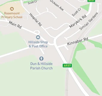
map for Hillside Playgroup

Near Hillside Playgroup

  1. Care Facilities
  2. 0.8 milesBorrowfield Out of School Club, DD109EZ
  3. 0.8 milesBorrowfield Playgroup, DD109EZ
  4. 1.4 milesLochside Playgroup, DD109AN
  5. 1.7 milesThe Adam Centre, DD108RX
  6. 1.8 milesDorward House, DD108SB
  7. 1.8 milesFordmill Care Home, DD108NE
  8. 2.1 milesLittle Beehive Nursery, DD108HE
  9. 2.8 milesFerryden Playgroup, DD109RF
  10. Catering Services
  11. 0.8 milesCommunity Cafe @ MBC, DD109DW
  12. Bars & Nightclubs
  13. 0.9 milesThe Black Abbot, DD109DW
  14. Restaurants & Cafés
  15. 0.5 milesGE Oil & Gas, DD109PB
  16. 0.8 milesRosehill Resource Centre, DD109ET
  17. 0.8 milesPoppy's Community Cafe, DD109EZ
  18. 1.0 mileGE Gas & Oil, DD109EB
  19. Supermarkets
  20. 1.2 milesLidl, DD109BP
  21. School Food Ratings
  22. 0.3 milesRosemount Nursery, DD109JH
  23. Schools
  24. 0.3 milesRosemount Primary School, DD109JH (181 pupils)
  25. 0.8 milesBorrowfield Primary School, DD109EZ (214 pupils)
  26. 1.4 milesLochside Primary School, DD109AN (351 pupils)
  27. 1.7 milesSt Margaret's RC Primary School, DD108LL (21 pupils)
  28. 2.2 milesMontrose Academy, DD108HU (859 pupils)

See all Care Facilities in Hillside.