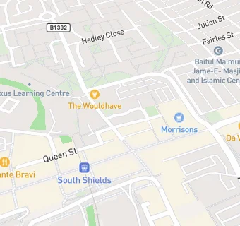
BLOCLEats

Hogarths

Mile End Road
South Shields
Tyne & Wear
NE331TS

Food rating: ★★★★★ 5/5 stars
Updated: 24. January 2017

map for Hogarths

Near Hogarths

  1. Bars & Nightclubs
  2. ★★★★★The Ship & Royal, NE332HT
  3. ★★★★Madleys, NE331TA
  4. ★★★★★Clover and Wolf / The Mile, NE332DL
  5. ★★★★★Ingham Street Masonic Hall, NE332DQ
  6. ★★★★★Brigham & Cowan Social Club, NE332DL
  7. 0.1 miles★★★★★Charlies Bar, NE332LR
  8. 0.1 milesCanny Corner, NE331LZ
  9. 0.1 miles★★★★The Criterion, NE332HZ
  10. Manufacturers
  11. ★★★★Minchella & Co, NE332HT
  12. Food Trucks
  13. BBM Bargain, NE331HT
  14. Catering Services
  15. ★★★★★Ocean Road Community Centre Cafe, NE332HT
  16. Restaurants & Cafés
  17. ★★★★★Charlestons Coffee House, NE331TS
  18. Retail Stores
  19. ★★UPNA South Shields Ltd, NE332HT
  20. 0.1 milesBoots UK Ltd, NE331DH
  21. Supermarkets
  22. ★★★★★Wm Morrison Supermarkets Limited, NE332HT
  23. Takeaway Shops
  24. Trendz, NE332DL
  25. Schools Primary
  26. 0.3 milesMarine Park Primary School, NE332RD
  27. 0.3 milesHadrian Primary School, NE332BB (274 pupils)
  28. 0.4 milesSt Bede's Catholic Primary School, South Shields, NE334PG (232 pupils)
  29. 0.7 milesWestoe Crown Primary School, NE333NS (657 pupils)
  30. 0.8 milesLaygate Community School, NE334JJ (250 pupils)

See all Bars & Nightclubs in South Shields.