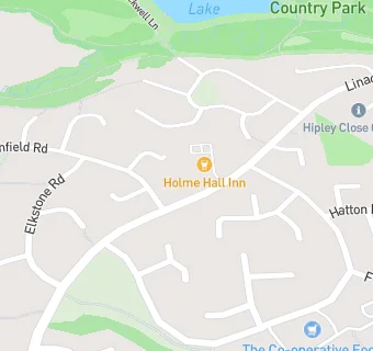
BLOCLEats

Holme Hall Inn

Linacre Road
Chesterfield
S404UX

Food rating: ★★★★★ 5/5 stars
Updated: 31. January 2019

map for Holme Hall Inn

Near Holme Hall …

  1. Bars & Nightclubs
  2. 0.6 miles★★★★★Woodside, S404DB
  3. 0.8 miles★★★★★The Olde House, S404RN
  4. 0.9 miles★★★★The Three Merry Lads, S427AJ
  5. 0.9 miles★★★★★Cutthorpe Cricket Club, S427AJ
  6. 0.9 miles★★★★★Newbold Working Mens Club, S418EJ
  7. 1.0 mile★★★★★Nags Head, S418RJ
  8. 1.1 miles★★★★★The Peacock Inn, S427AS
  9. 1.2 miles★★The Badger, S404ED
  10. Catering Services
  11. ★★★★★Raras Kitchen@Holmehall Inn, S404UX
  12. Restaurants & Cafés
  13. 0.1 miles★★★★★Edge Ministries - Holme Hall Community Centre,
  14. 0.2 miles★★★★★Zaika Restaurant, S404SL
  15. Retail Stores
  16. 0.2 milesHolme Hall Post Office, S404SL
  17. 0.2 milesLloyds Pharmacy - Holme Hall Shopping Centre, S404SL
  18. Supermarkets
  19. 0.2 miles★★★★★Farmfoods Ltd, S404SL
  20. 0.2 miles★★★★★Central England Co-Operative - Holme Hall Shopping Centre, S404SL
  21. School Food Ratings
  22. 0.2 miles★★★★★Holme Hall Primary School Mellors Catering Services, S404RL
  23. Schools
  24. 0.8 milesAshgate Croft School, S404BN (154 pupils)
  25. Schools Primary
  26. 0.2 milesHolme Hall Primary School, S404RL (129 pupils)
  27. 0.9 milesBrockwell Nursery and Infant School, S404NP (203 pupils)
  28. 0.9 milesBrockwell Junior School, S404NP (243 pupils)
  29. Schools Secondary
  30. 0.9 milesSt Mary's Catholic High School, A Catholic Voluntary Academy, S418AG (1347 pupils)

See all Bars & Nightclubs in Chesterfield.