Holroyd Howe
Holroyd Howe
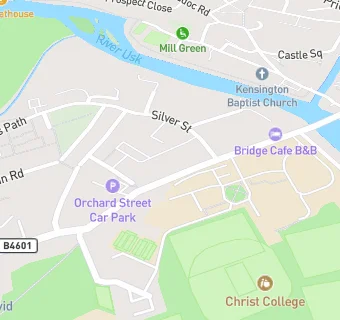
Christ College
Orchard Street
Llanfaes
Brecon
LD38ANLlanfaes
Brecon
Food rating:
★★★★
4/5 stars
Updated:
Food rating:
★★★★
4/5 stars
Updated:
See all School Food Ratings in Brecon.