BLOCLEats

Lidl

Chain Lane
Knaresborough
North Yorkshire
HG50DH

Food rating: ★★★★★ 5/5 stars
Updated: 2. February 2022

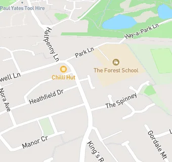
map for Lidl

Near Lidl

  1. Supermarkets
  2. 0.5 miles★★★★★Tesco, HG50EQ
  3. 0.9 miles★★★★★Marks & Spencer, HG58PZ
  4. 2.0 miles★★★★★Co-op, HG27JE
  5. 2.1 miles★★★★★Morrisons, HG27LD
  6. 2.2 miles★★★★★Tesco Express Supermarket, HG27HY
  7. 2.5 miles★★★★★Sainsbury's, HG28QZ
  8. 2.5 miles★★★★★Lidl, HG27LU
  9. 3.0 miles★★★★★Co-operative Group, HG28LS
  10. Care Facilities
  11. 0.1 miles★★★★★Sherburn House, HG50AS
  12. 0.3 miles★★★★★The Manor House Knaresborough, HG50DB
  13. 0.3 miles★★★★★Hill View Manor, HG50SJ
  14. Restaurants & Cafés
  15. 0.1 miles★★★★★Chain Lane Community Centre, HG50AS
  16. Retail Stores
  17. 0.3 miles★★★★★Clean Eats Ltd, HG50SL
  18. School Food Ratings
  19. 0.1 miles★★★★★The Forest School, HG50DQ
  20. Takeaway Shops
  21. ★★★★★Two Brothers Takeaway, HG50DH
  22. Chemists
  23. 0.1 milesChain Lane Pharmacy, HG50DH
  24. Schools
  25. 0.1 milesThe Forest School, HG50DQ (147 pupils)
  26. Schools Primary
  27. 0.4 milesKnaresborough St John's Church of England Primary School, HG50JN (293 pupils)
  28. 0.4 milesMeadowside Academy, HG50SL (213 pupils)
  29. 0.5 milesAspin Park Academy, HG58LQ (424 pupils)
  30. Schools Secondary
  31. 0.5 milesKing James's School, HG58EB (1542 pupils)

See all Supermarkets in Knaresborough.