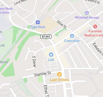
BLOCLEats

LIDL

Lidl
32 Boldon Lane
South Shields
Tyne & Wear
NE340AT

Food rating: ★★★★★ 5/5 stars
Updated: 11. May 2017

map for LIDL

Near LIDL

  1. Supermarkets
  2. 0.6 miles★★★★★Sainsbury's, NE349AR
  3. 0.9 miles★★★★Ahmeds International Superstore, NE335DU
  4. 1.0 mile★★★★★Heron Foods, NE335EA
  5. 1.0 mile★★★★★Tesco, NE349QD
  6. 1.1 miles★★★★★Aldi, NE334HF
  7. 1.1 miles★★★★★Iceland, NE334HF
  8. 1.1 miles★★★★★Farmfoods, NE346AS
  9. 1.1 miles★★★★★LIDL, NE335RG
  10. Food Trucks
  11. Boldon Lane News, NE340JT
  12. Retail Stores
  13. ★★★★★M I Dickson Ltd, NE340AR
  14. School Food Ratings
  15. 0.1 miles★★★★★Ss Peter & Paul Catholic Primary, NE334RD
  16. Takeaway Shops
  17. ★★★★Sunny House, NE340AR
  18. ★★★★★Frankies Fish and Chips, NE340JT
  19. ★★★★Turkuaz, NE340AR
  20. Chemists
  21. Boldon Lane Pharmacy, NE340AR
  22. Dentists
  23. Boldon Lane Dental Practice, NE340AR
  24. Schools
  25. 0.4 milesAlternative Education Service - The Beacon Centre, NE340QA (62 pupils)
  26. 0.5 milesPark View School, NE340QA (45 pupils)
  27. Schools Primary
  28. 0.1 milesSS Peter and Paul Catholic Primary School, South Shields, NE334RH (235 pupils)
  29. 0.3 milesStanhope Primary School, NE334SZ (246 pupils)
  30. 0.4 milesAshley Academy, NE340QA (407 pupils)

See all Supermarkets in South Shields.