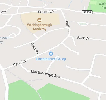
Lincolnshire Co-operative Society
Lincolnshire Co-operative Society
5 The Precinct
Park Lane
LN41DQPark Lane
Food rating:
★★★★★
5/5 stars
Updated:
Food rating:
★★★★★
5/5 stars
Updated:
See all Supermarkets in Washingborough.