Lord Nelson Hotel
Lord Nelson Hotel
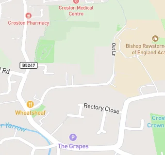
Out Lane
Croston
Leyland
PR269HJLeyland
Food rating:
★★★★★
5/5 stars
Updated:
Food rating:
★★★★★
5/5 stars
Updated:
See all Bars & Nightclubs in Croston.