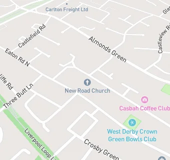
Lowlands West Derby Community Centre
Lowlands West Derby Community Centre
13 Haymans Green
Liverpool
L127JGFood rating:
★★★★★
5/5 stars
Updated:
Food rating:
★★★★★
5/5 stars
Updated:
See all Bars & Nightclubs in Liverpool.