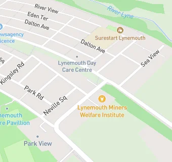
Lynemouth Miners Welfare Institute
Lynemouth Miners Welfare Institute
Bridge Road
Lynemouth
Northumberland
NE615YLNorthumberland
Food rating:
★★★★★
5/5 stars
Updated:
Food rating:
★★★★★
5/5 stars
Updated:
See all Bars & Nightclubs in Lynemouth.