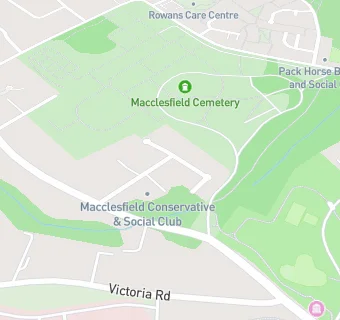
Macclesfield Conservative Club
Macclesfield Conservative Club
2 West Bank Road
Macclesfield
SK103BTMacclesfield
Food rating:
★★★★★
5/5 stars
Updated:
Food rating:
★★★★★
5/5 stars
Updated:
See all Bars & Nightclubs in Macclesfield.