BLOCLEats

Marks & Spencer

27 - 33 King Street
London
W69HW

Food rating: ★★★★★ 5/5 stars
Updated: 23. October 2024

map for Marks & Spencer

Near Marks & …

  1. Supermarkets
  2. ★★★★★Lidl, W60PZ
  3. ★★★★★IKEA, W60PZ
  4. ★★★★★Sainsbury's, W60PZ
  5. 0.1 miles★★★★★Tesco Metro, W69YD
  6. 0.1 miles★★★★★Heriots Patisserie, W69YD
  7. 0.1 miles★★★★★Iceland, W69JG
  8. 0.2 miles★★★★★Cookie Jar London Hammersmith, W67AL
  9. 0.3 miles★★★★★Tesco, W67NL
  10. Catering Services
  11. ★★★★★Outsider Tart @ The Lyric, W60QL
  12. Bars & Nightclubs
  13. ★★★★★The Hammersmith Ram, W69HW
  14. Restaurants & Cafés
  15. ★★★★Lyric Cafe And Lyric Bar & Grill, W60QL
  16. Retail Stores
  17. ★★★★★Oxfam, W69HW
  18. ★★★★★Boots UK Ltd, W69HW
  19. ★★★★★Samosa Haus, W60PZ
  20. Chemists
  21. Superdrug Pharmacy, W69HW
  22. Boots, W69HW
  23. Schools
  24. 0.2 milesThe Godolphin and Latymer School, W60PG (803 pupils)
  25. 0.2 milesWestside School, W60LT (19 pupils)
  26. Schools Primary
  27. 0.1 milesSt Paul's CofE Primary School, W69BP (176 pupils)
  28. 0.2 milesWest London Free School Primary, W60LB (420 pupils)
  29. Schools Secondary
  30. 0.2 milesSacred Heart High School, W67DG (1135 pupils)

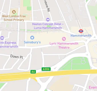
See all Supermarkets in London.