Be Local
Eats
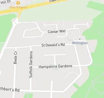
Masonic Hall
Masonic Hall
Station Road
Wallsend
Tyne And Wear
NE286TA
Food rating:
★★★★★
5/5 stars
Updated:
21. January 2020
Your feedback
+
claim premises
Near Masonic Hall
Restaurants & Cafés
0.3
miles
★★★★★
True Colours Foundation
, NE287AL
0.4
miles
★★★★★
Tyne Metropolitan College
, NE289NL
0.4
miles
★★★★★
Tyne Metropolitan College.
, NE289NL
0.7
miles
★★★★★
Howdelicious
, NE280PP
0.9
miles
★★★★★
Advanced Industrial Solutions (The Restaurant)
, NE297SE
0.9
miles
★★★★
Baburchi
, NE287RH
0.9
miles
★★★★★
Costa Next North Shields
, NE289PD
0.9
miles
★★★★
The Bad Cat Cafe
, NE287RP
Care Facilities
0.2
miles
★★★★★
Croftdene Care Home
, NE287HU
0.3
miles
New Beginnings
, NE287AY
Catering Services
0.3
miles
★★★★★
Dicksons
, NE289PA
Retail Stores
★★★★★
Greggs North East
, NE289EN
Supermarkets
★★★★★
Tesco Express
, NE289EN
★★★★★
Marks And Spencer
, NE289NE
★★★★★
Lidl
, NE289EN
Chemists
0.3
miles
Battle Hill Pharmacy
, NE289DX
Schools Primary
0.5
miles
Battle Hill Primary School
, NE289DH (333 pupils)
0.5
miles
St Aidan's Catholic Primary School, Wallsend
, NE280EP (224 pupils)
0.6
miles
St Peter's Church of England Primary School
, NE286PY
0.6
miles
Wallsend St Peter's CofE Aided Primary School
, NE286PY (174 pupils)
Schools Secondary
0.4
miles
Churchill Community College
, NE287TN (998 pupils)