Melling Residents Community Association
Melling Residents Community Association
Coronation Hall
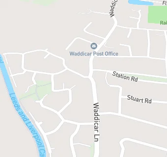
Waddicar Lane
Melling
Merseyside
L311DQMelling
Merseyside
Food rating:
★★★★★
5/5 stars
Updated:
Food rating:
★★★★★
5/5 stars
Updated:
See all Bars & Nightclubs in Kirkby.