BLOCLEats

Melrose and Morgan (Hampstead)

Oriel Hall
Oriel Place
London
NW31QN

Food rating: ★★★★ 4/5 stars
Updated: 9. August 2022

Food ratings

  • Confidence in management: 5
  • Hygiene: 5
  • Structural: 10
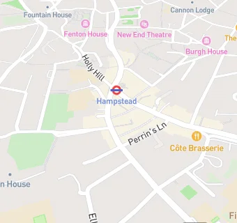
map for Melrose and Morgan (Hampstead)

Near Melrose and …

  1. Restaurants & Cafés
  2. ★★★★★The Horseshoe, NW36TE
  3. 0.1 miles ★★★★★RED COFFEE BOX, NW31QA
  4. 0.1 miles ★★★★★Age UK Camden, NW36NS
  5. 0.1 miles ★★★★★Wagamama, NW31EN
  6. 0.1 miles ★★★★★Everyman Cafe, NW36TX
  7. 0.1 miles ★★★★★itsu Limited, NW31EN
  8. 0.2 miles ★★★★Burgh House Trust, NW31LT
  9. 0.4 miles ★★★★★Air Studios, NW35NG
  10. Care Facilities
  11. 0.1 miles ★★★★★Hampstead Community Centre Playcentre, NW31RE
  12. Bars & Nightclubs
  13. 0.1 miles ★★★★★King William IV, NW31RE
  14. Supermarkets
  15. 0.1 miles ★★★★★SAINSBURY'S SUPERMARKET LTD, NW31QE
  16. School Food Ratings
  17. 0.1 miles ★★★★★Hampstead Parochial CE Primary, NW36TX
  18. Takeaway Shops
  19. 0.1 miles ★★★Casa Mediterrana, NW31RE
  20. 0.1 miles ★★★★★La Creperie, NW31RE
  21. Chemists
  22. Boots, NW31QE
  23. 0.1 miles Ritz Pharmacy, NW36UA
  24. Schools
  25. 0.2 miles University College School, NW36XH (1305 pupils)
  26. 0.2 miles St Anthony's School for Boys, NW36NP (269 pupils)
  27. Schools Primary
  28. 0.1 miles Hampstead Parochial Church of England Primary School, NW36TX (203 pupils)
  29. 0.2 miles New End Primary School, NW31HU (342 pupils)
  30. 0.2 miles Fitzjohn's Primary School, NW36NP (231 pupils)