Moon Under Water
Moon Under Water
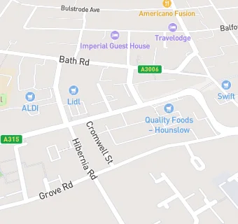
84-86 Staines Road
Hounslow
TW33LFHounslow
Food rating:
★★★★★
5/5 stars
Updated:
Food ratings
Hygiene: 5
Structural: 5
Food rating:
★★★★★
5/5 stars
Updated:
Food ratings
Hygiene: 5
Structural: 5
See all Bars & Nightclubs in Hounslow.